Introduction / Home
Process (short)
More Process Details
Notes on JOSM Files
PicLayer Files
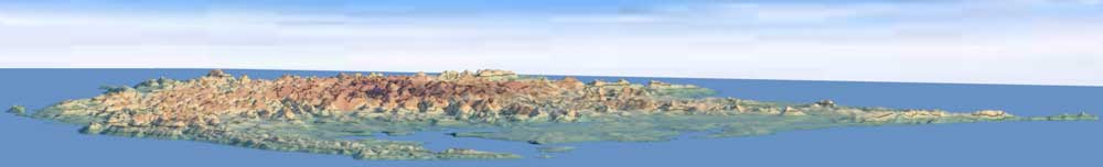
Territory Examples
AN149
PE007
Ridges & Settings
Spread & Cliffs
Granularity & Roughness
Ridge Rounding
Other Objects
LakesFlats
Custom Objects
Miscellaneous
Current Issues
Possible Projects
Fractal Noise
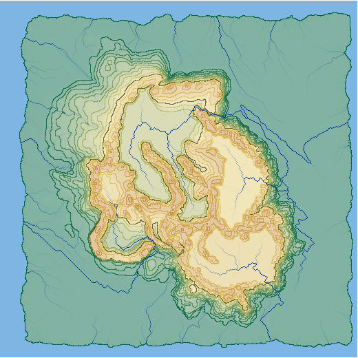
| Drainage Channels (Ditches) | ||||
| Low points on the height-map are filled to allow water to drain to a natural low points along the edges or to sea level. By creating drainage channels prior to the height-map being filled, large flat areas are reduced. Adding drainage channels can be disabled, but currently only for the entire height-map. | ||||
| Prior to being filled: | Filled without drainage channels: | With drainage channels added: | ||
| There are several areas where elevations are obviously lower than the surrounding areas. | All areas without drainage have been filled resulting in a large high plateau. | The estimated water flow paths from the second image are used to set drainage paths. The result is less fill used, leaving more of the intended topography. | ||
 |
 |
 |
||
|
||||