Introduction / Home
Process (short)
More Process Details
Notes on JOSM Files
PicLayer Files
Territory Examples
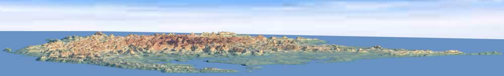
AN149
PE007
Ridges & Settings
Spread & Cliffs
Granularity & Roughness
Ridge Rounding
Other Objects
LakesFlats
Custom Objects
Miscellaneous
Current Issues
Possible Projects
Fractal Noise
| Lakes and Flats | ||
Lakes are circular ways where the elevation is automatically set to the lowest elevation along the final shape of the lake's perimeter. Noise is added to the shape of the lake to make it look more natural. The lake is blended into the surrounding topography based on granularity, roughness and distance (from the outer edge of the object) settings. A very shallow drainage basin is created to simulate a natural flow of water in to and out of the lake. All elevations inside the lake are set to the lake's elevation, so islands in the late are not currently possible. Flats are used to force an area on the height-map to any user set elevation. A flat can also be used to force part of a shoreline underwater. Everything inside the flat is set to the flat's elevation. Like lakes, flats are blended into the surrounding topography. The process for creating a flat is almost identical to the process for a lake. The image below shows examples of lakes and flats with different noise levels and elevations. |
||
 |
||
| OSM File: LakeFlateDemo.osm PicLayer Calibration File: lakesFlats.png.cal Topo Image: lakesFlats.png |
||
| Lake Issues: | ||
| Water paths that happen to be directly next to lakes may unrealistically not flow into the lake due to the underlying topography. Adjusting the topography, or increasing lake blending settings solves the issue. | ||
 |
 |
|
| Water flowing directly next to lake. | Same lake with more blending | |