Introduction / Home
Process (short)
More Process Details
Notes on JOSM Files
PicLayer Files
Territory Examples
AN149
PE007
Ridges & Settings
Spread & Cliffs
Granularity & Roughness
Ridge Rounding
Other Objects
LakesFlats
Custom Objects
Miscellaneous
Current Issues
Possible Projects
Fractal Noise
| Hydraulic Erosion | ||
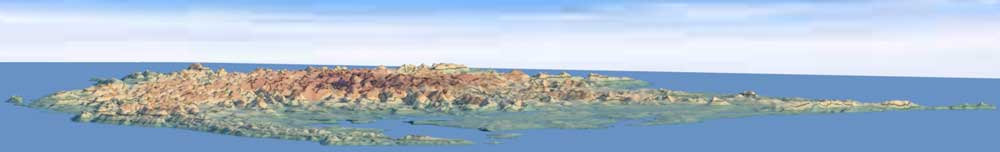
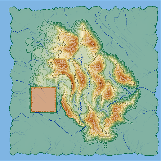
To add detail to the height-map, simulated hydraulic erosion is applied. Examples on other pages were all eroded with 4 drops per pixel. The droplet size/strength is scaled based on the the map's scale. The height-map contains a large box to show how the erosion affects flat solid areas. |
||
| Topo | Gray-scale | 3D |
| No Erosion | ||
 |
 |
 |
| 1 drop / pixel | ||
 |
 |
 |
| 5 drops / pixel | ||
 |
 |
 |
| 10 drops / pixel | ||
 |
 |
 |
| 15 drops / pixel | ||
 |
 |
 |
| 20 drops / pixel | ||
 |
 |
 |
| 50 drops / pixel | ||
 |
 |
 |
| 100 drops / pixel | ||
 |
 |
 |
| 200 drops / pixel | ||
 |
 |
 |
| 500 drops / pixel | ||
 |
 |
 |